
I came to Middlebury, Vermont, last week on family business. I like to think I would have explored, and documented, any place where I was staying for nine days, especially if it was late spring in the northern hemisphere. And I’m sure I would have brought my bicycle, even if it was not a traditionally “scenic” place. But the fact is, for nine days this June, I was in a beautiful country: green, rolling, and criss-crossed with lightly-traveled, smoothly-paved roads.
Another fact is equally germane: the weather was lousy. Cold, overcast, and wet. The first three days, the rain seemed never to stop. Wearing a fleece jacket and baseball cap but still damp and chilled, I walked back and forth between Ilsley Public Library and Carol’s Hungry Mind Café, where I read and drank coffee – it was raining too hard to do anything else. Fortunately, when the sun came out, I knew exactly where I wanted to go because I had spent most of those rainy hours studying local maps.
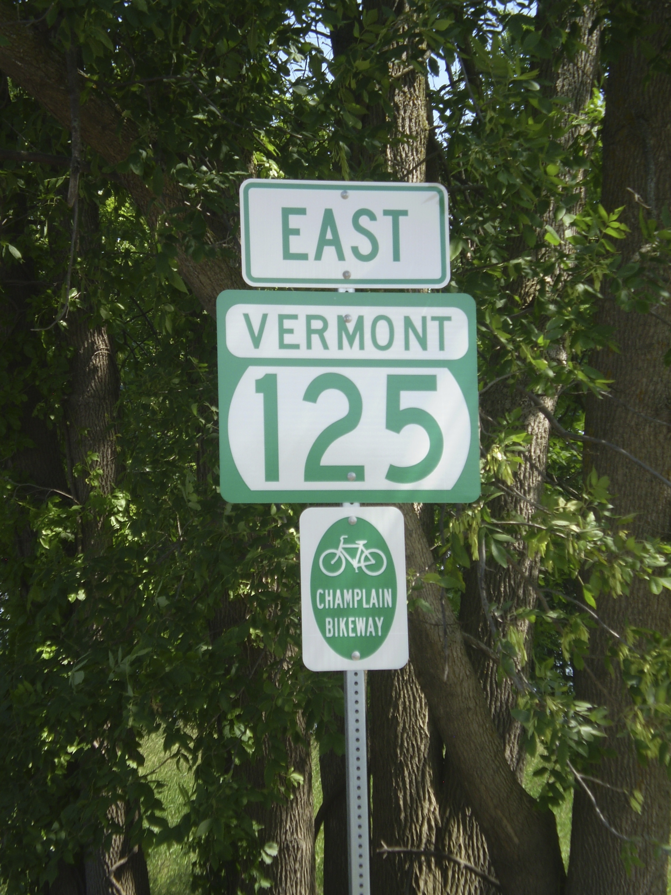
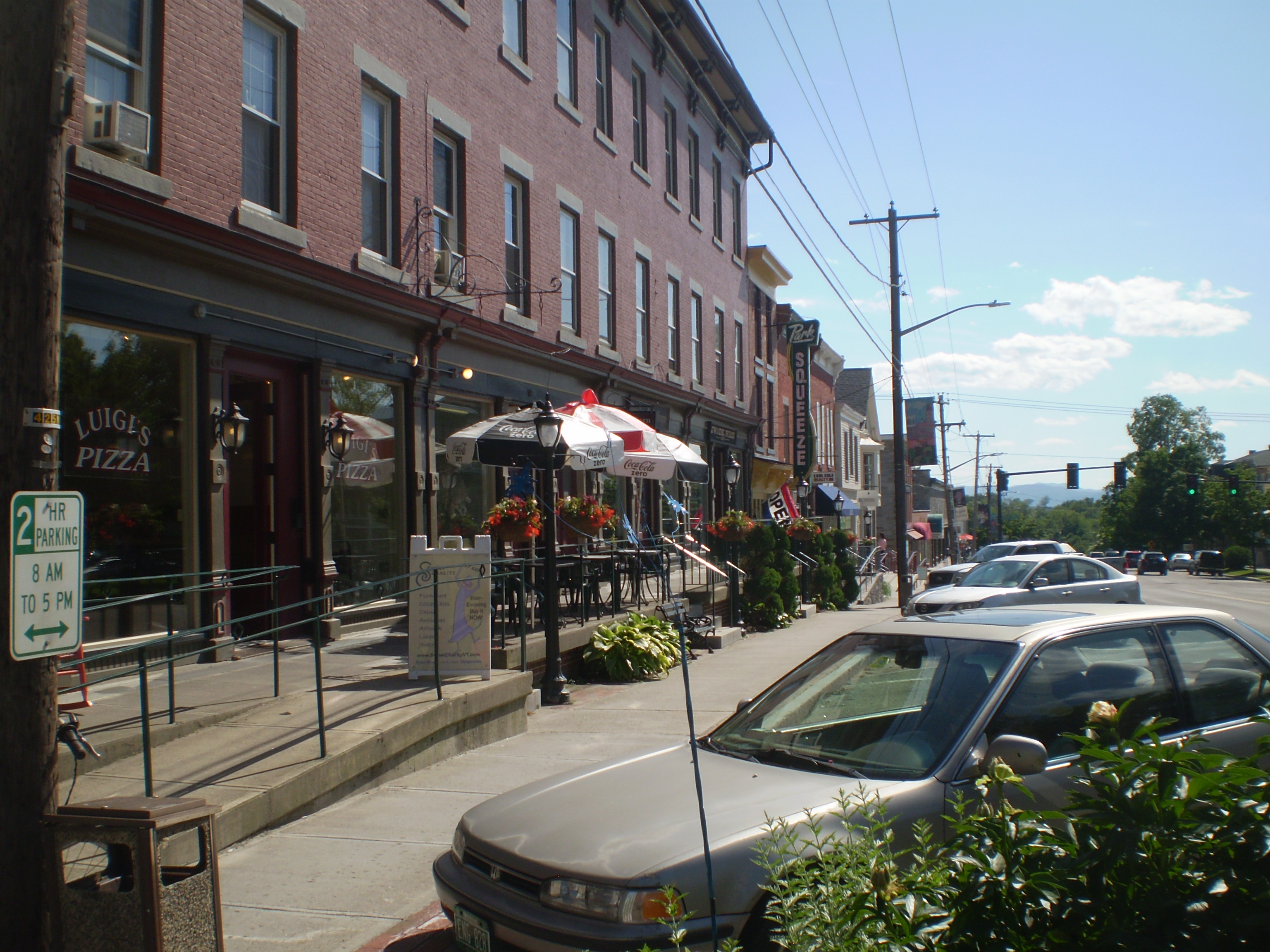
 Middlebury is a small town, nearly in the middle of Vermont, with about 8,500 inhabitants. U.S. Route 7 runs north and south through it, linking the town to larger cities, namely Rutland (to the south) and Burlington (to the north). Vermont Route 125 cuts through in the other direction, connecting Middlebury to the Green Mountains in the east and Lake Champlain in the west. A small river, Otter Creek, flows through the town, its dramatic falls located under a bridge on Main Street. The town is home to Middlebury College, founded in 1800; it is also the seat of Addison County, which includes Bristol, Salisbury, Vergennes, and other towns and villages.
My first thought, even before I got here, was that I would ride into the mountains, through East Middlebury and Ripton and up to the Middlebury Gap, stopping at Bread Loaf. You can see all those places in this detail from a map produced by the Addison County Chamber of Commerce (click to enlarge).

But after thinking more objectively about my physical condition, I decided my best first trip would be west to Lake Champlain. Below is the route I planned to take, which I pieced together using the Chamber of Commerce map above, as well as maps from Lake Champlain Bikeways and the Vermont Department of Tourism:
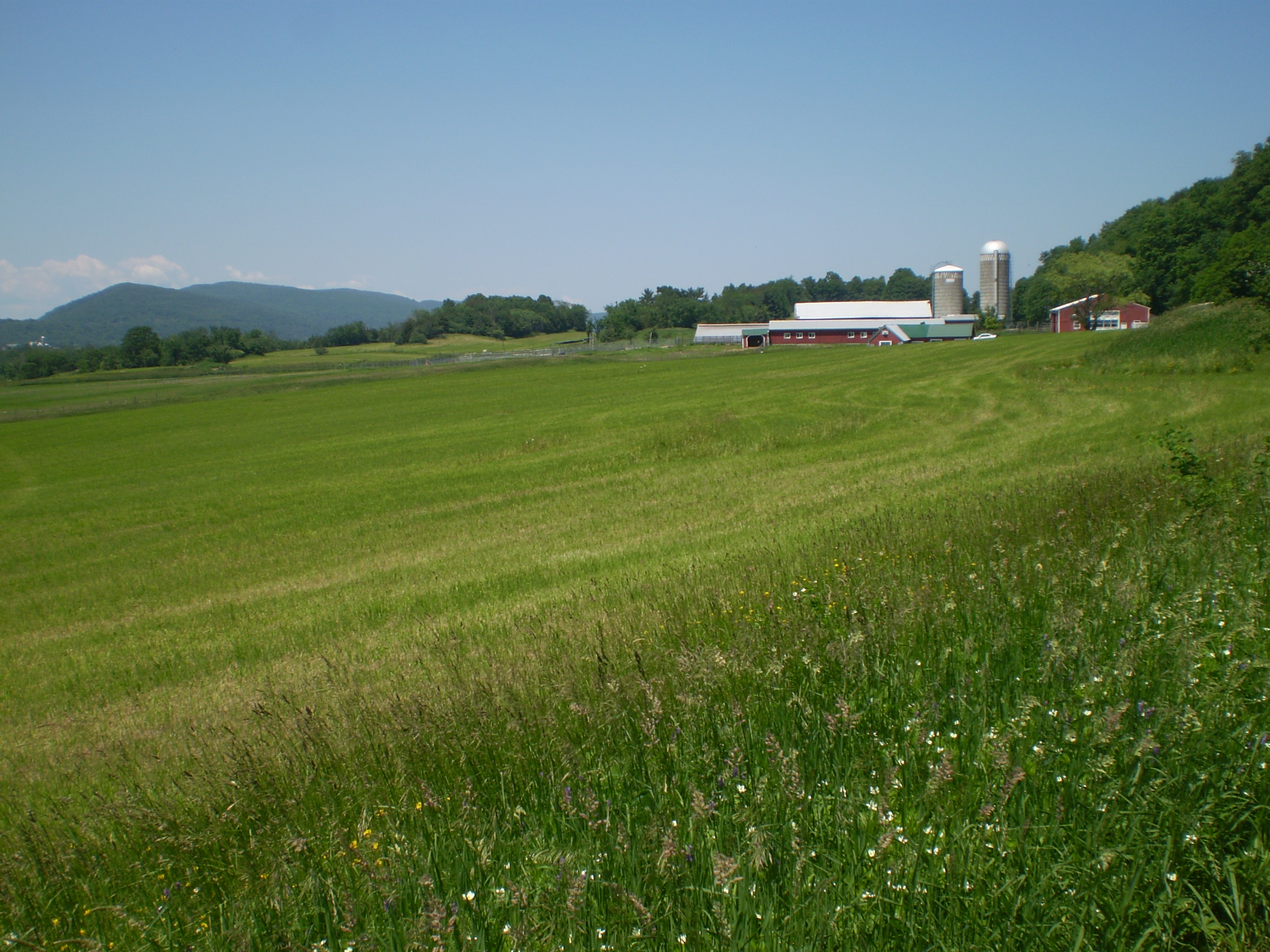
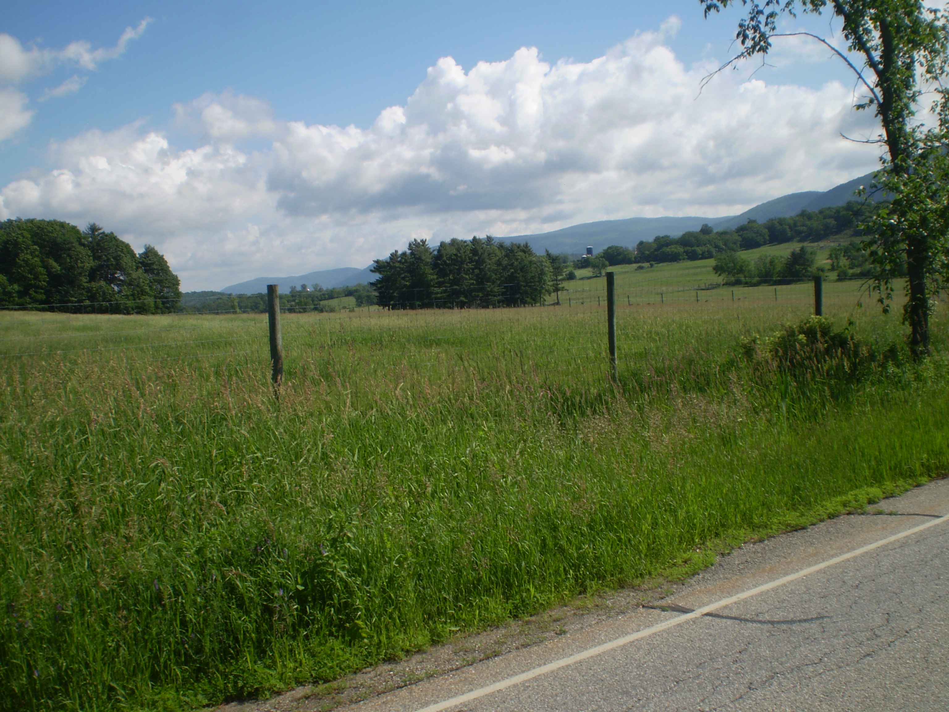
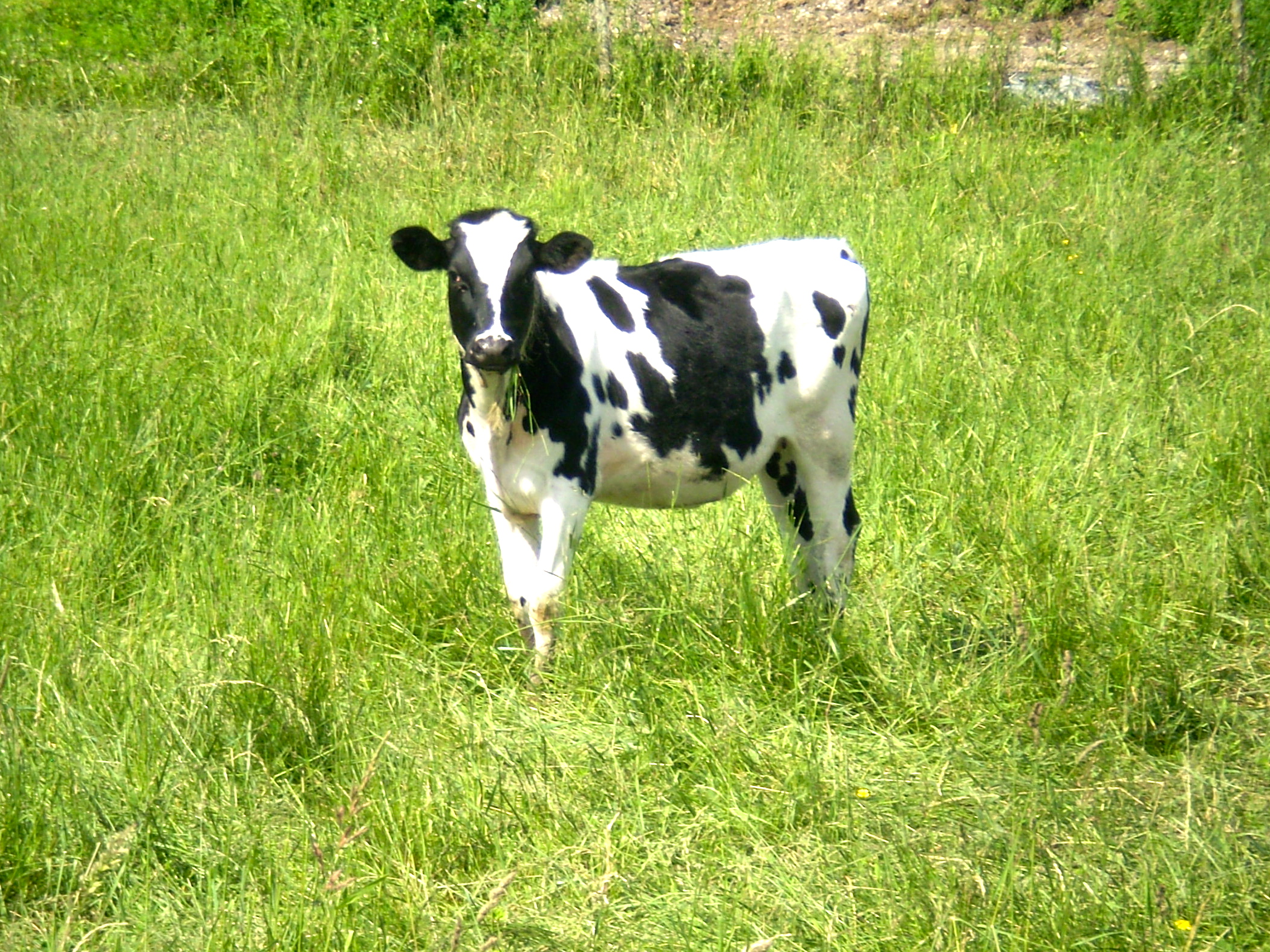
So, on Friday afternoon, June 14, I rode west through the town and the college and then down the incline of Route 125 toward the Champlain Valley. It was a beautiful day, the green, rolling landscape dotted with dairy farms.

There were occasional signs that, in the nineteenth century, this was a sheep-farming region:

But now it’s mostly dairy farms.

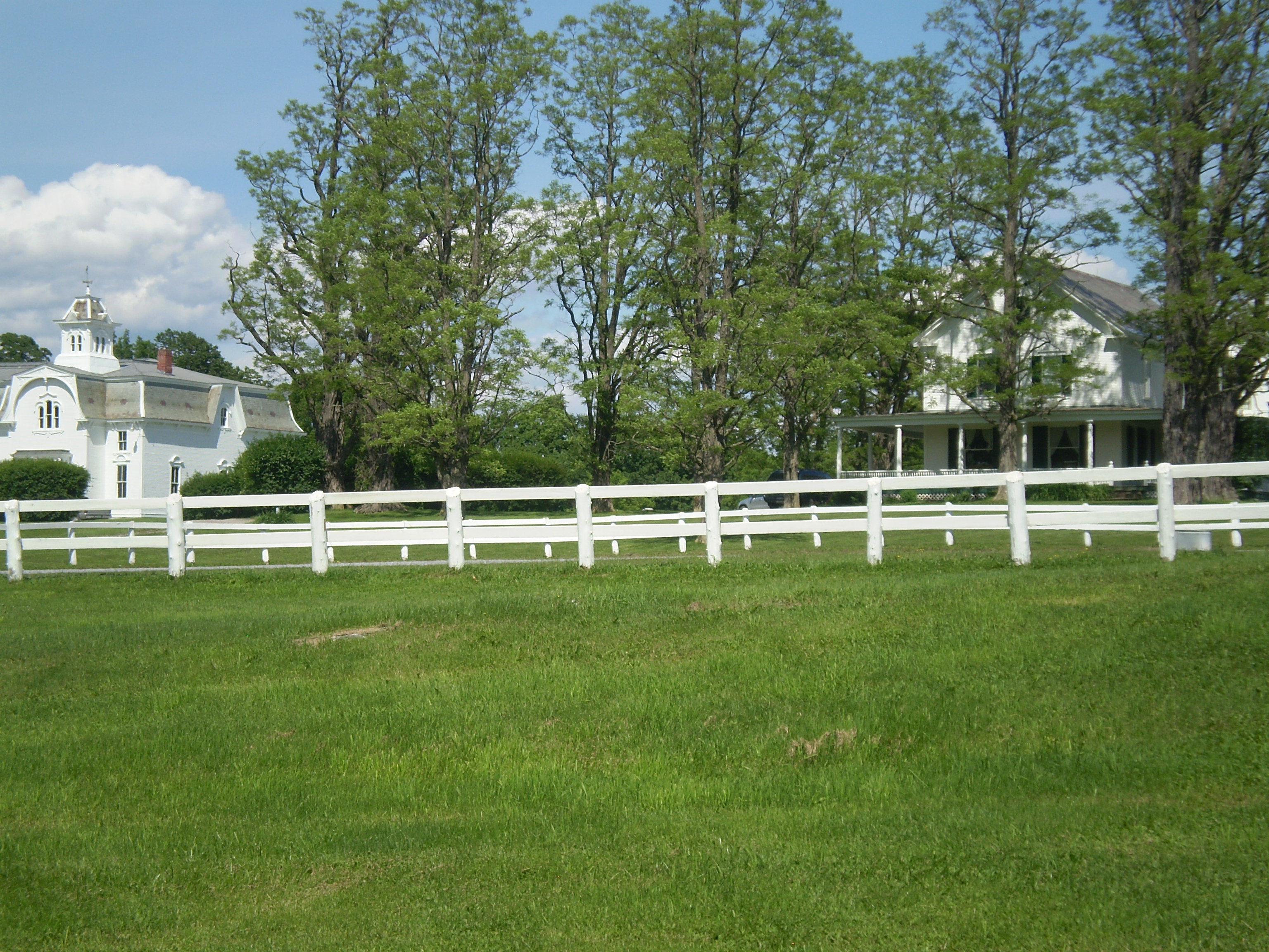
There are farmhouses along the road, some abandoned, others in good shape with well-tended yards.
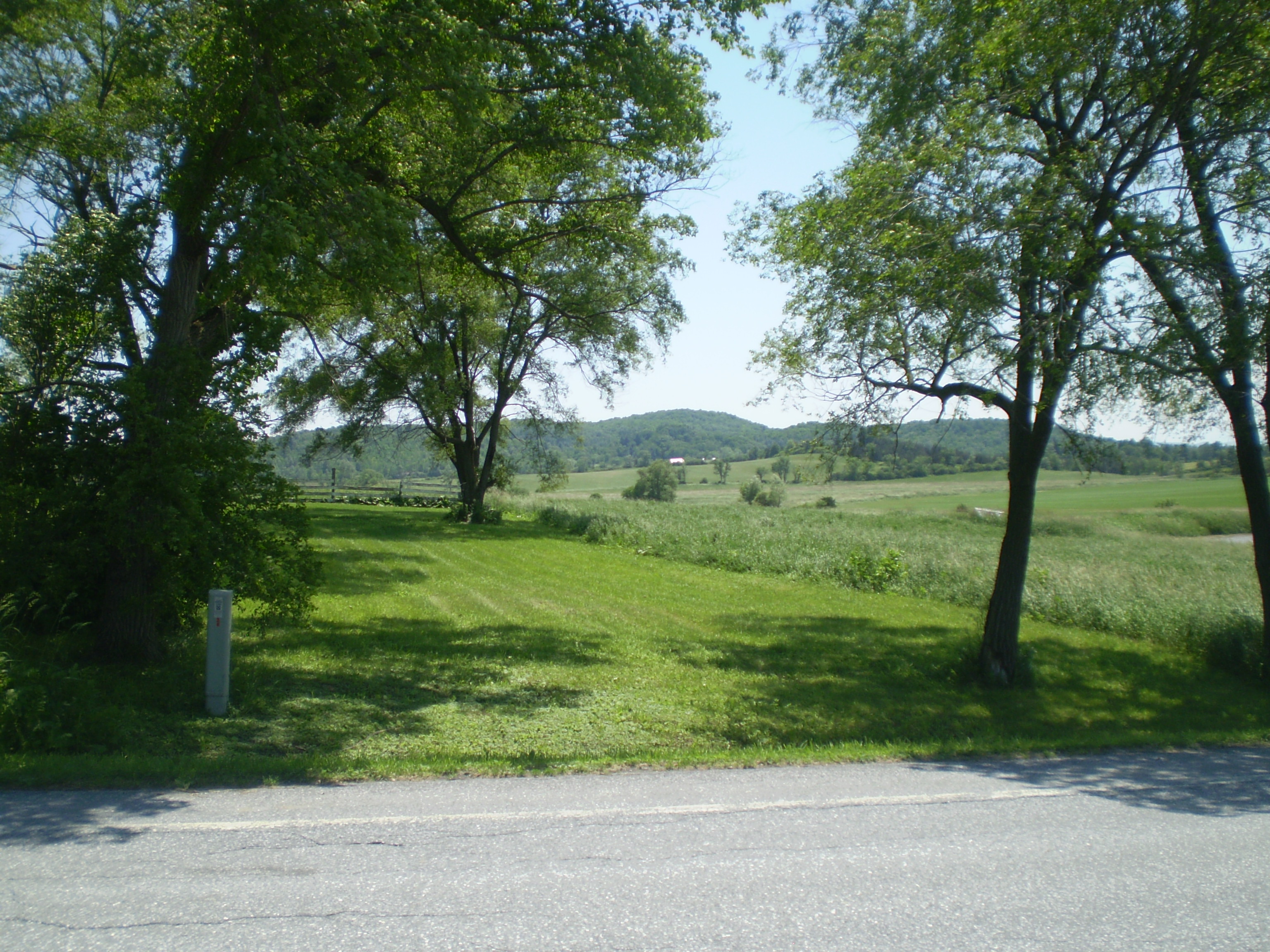
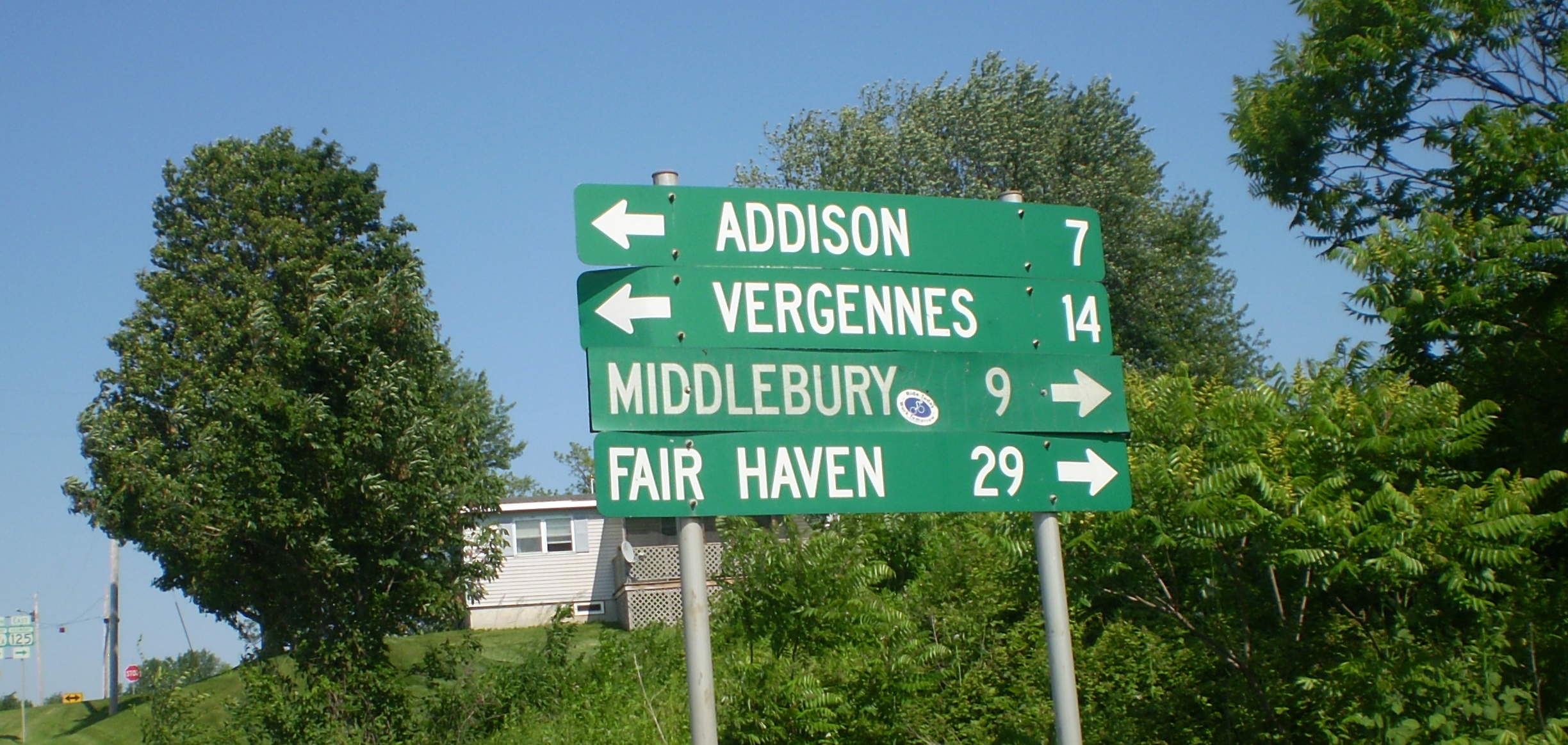
At Pratt’s Store, after a short stretch riding north on Route 22A, I got back on Route 125 west, the Adirondack Mountains in the distance. Below the mountains is Lake Champlain, not yet visible.

I rode past more dairy farms . . .
. . . and, near Bridport, a well-preserved one-room schoolhouse from the nineteenth century.

You can read about the school here. Although the sign says “Hathorne School,” the article spells it “Hawthorne.” (Nathaniel Hawthorne, whose ancestor John Hathorne was a judge in the Salem witch trials, also added a “w” to the name.) There are nice interior shots of the school here. I realize from those photos and the article above that the building is open to the public. (I also realize from the Flickr shots that I should have taken the exterior photo from a three-quarters angle and not head-on. Lesson learned. )
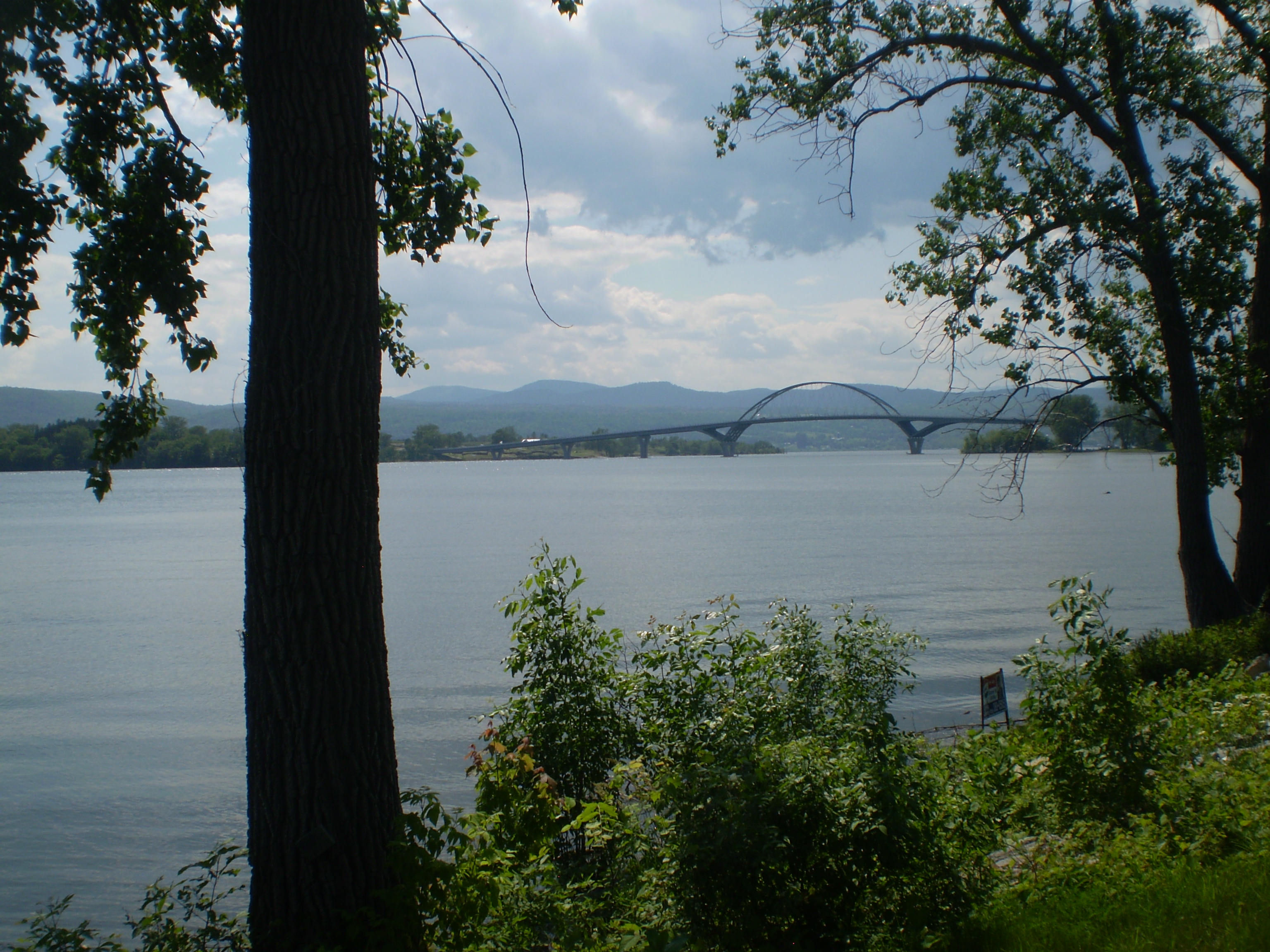
I reached Lake Champlain around 4:00 pm. There were several people fishing. I had some ice cream at Chimney Point, where there’s a bridge to New York.
 After resting a bit, I headed back the way I came, still on Route 125 but now riding east. Unfortunately, the way in was not as pleasant as the way out. By late afternoon, I was not only tired of the weekend traffic, heavier than I expected; I was becoming physically drained – from the heat and the hills and perhaps a little dehydration. I confess to walking up the steeper inclines. At one point, I thought I would never make it back.
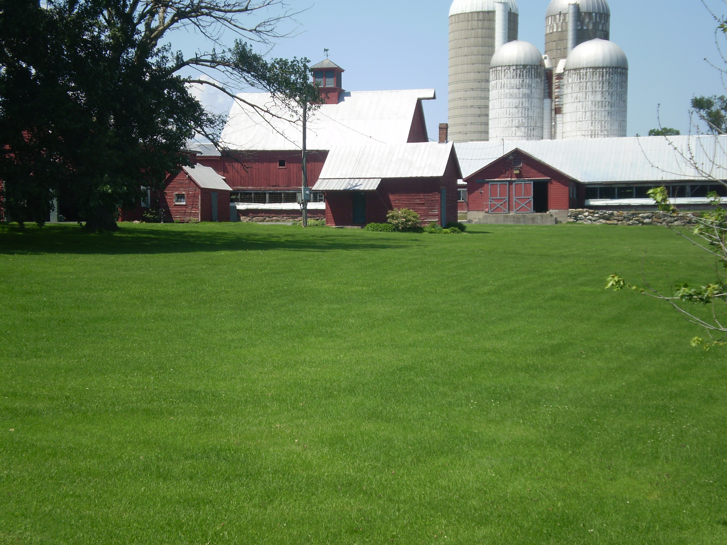
So it was nice to finally see Middlebury College on a hill in the distance.

Total miles rode was 35.12, a long trip for me. My body felt it.
The next day, June 15, saw good weather again – I knew I had to take advantage of it. This time I planned to ride north, to the small city of Vergennes. It would be a shorter and flatter ride than the day before. Here’s the route I took:
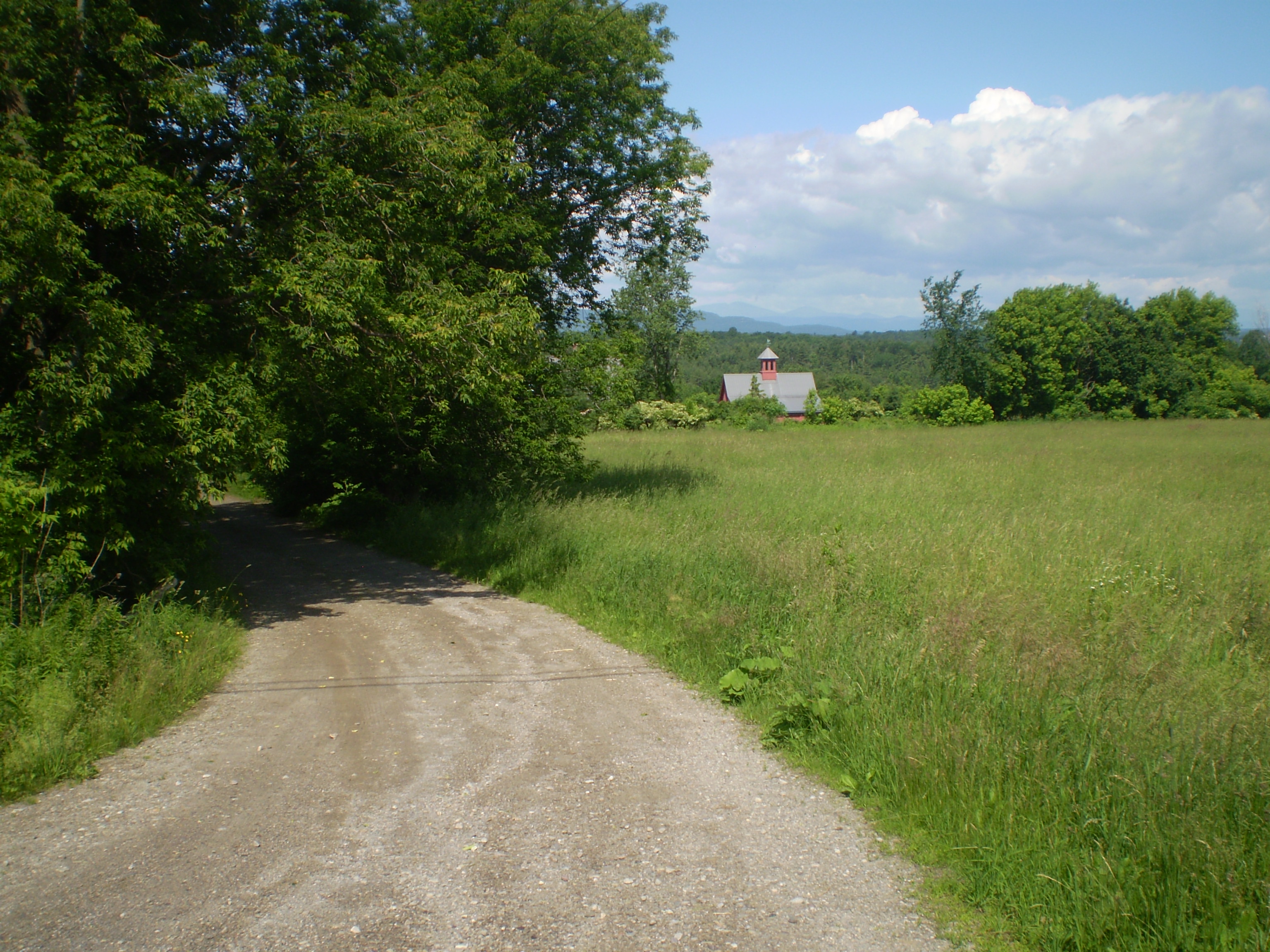
I left Middlebury on Morgan Horse Farm Road – which changes its name to Pearson Road and then Green Street but goes all the way into Vergennes without a turn. It is, happily, much less-travelled than Route 125, though the scenery is equally lovely.

Just outside of Middlebury, I passed the famous Morgan Horse Farm, now run by the University of Vermont.
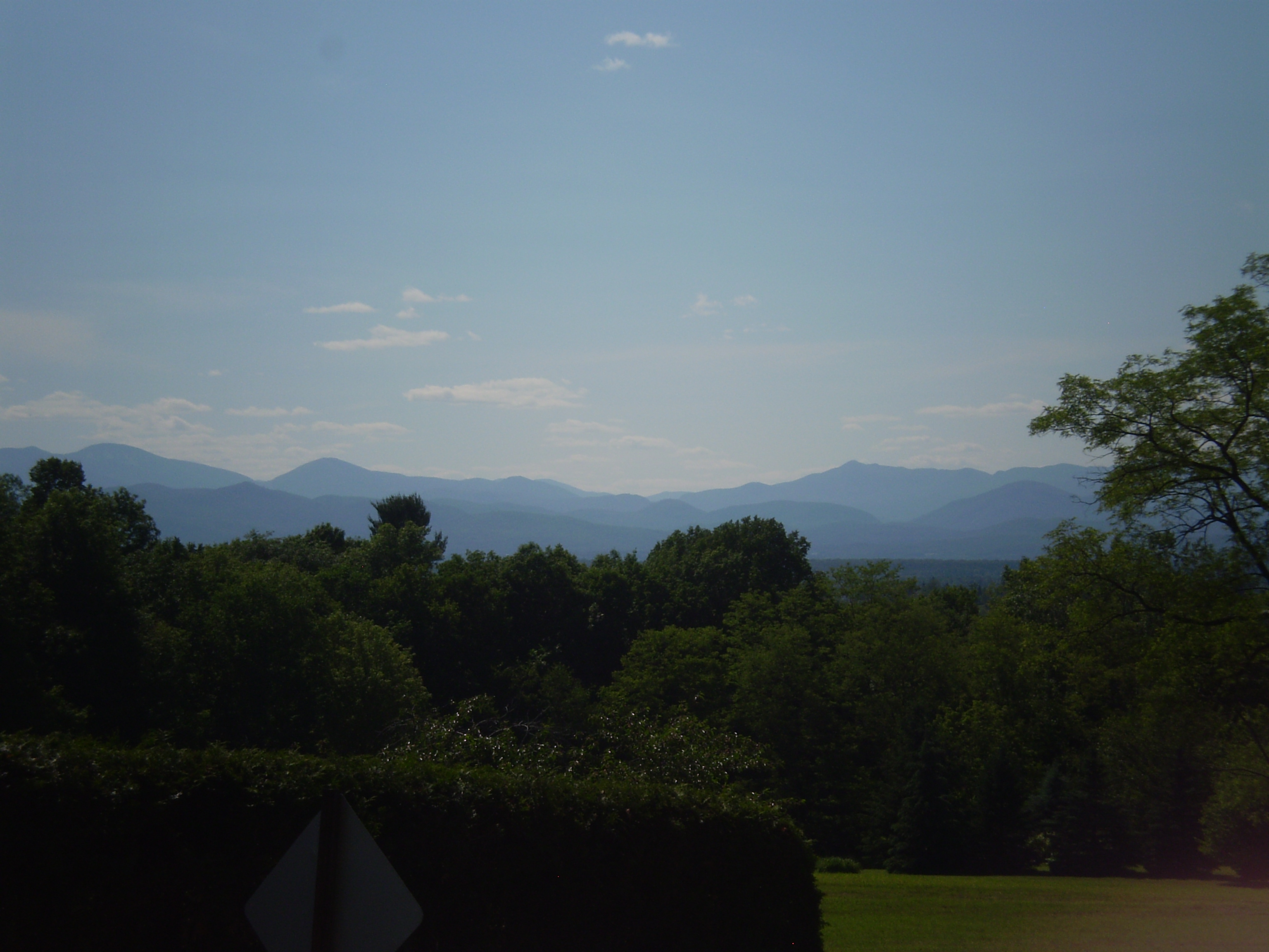
Later on, there were views west to the Adirondacks:
At Vergennes, I stopped at 3 Squares Cafe for potato chips and a bottle of water.
On the ride home, the view east, toward the Green Mountains, was as pretty as the view west toward New York.

The riding was *mostly* straight and *generally* flat.

And the downhills were nice.

Soon, I was back in Middlebury. The total ride was 25.3 miles. Once home, I tracked the route using both Google Maps (see above) and Map My Ride, which also shows elevation. Unfortunately, you can’t embed Map My Ride routes into WordPress blogs the way you can Google Maps, so I had to take the screen shot below. You can see here that the biggest hill occurred at the end of the trip out, a decline into Vergennes itself. I had to go *up* that one on the way home, fueled only by a bag of potato chips (another lesson learned . . . ).

Sunday, June 16, was Father’s Day. It rained again. We spent the day in Burlington – wet and cold. The power was out all along Church Street and vicinity, including the diner on which we had set our hungry hearts.
The next morning, June 17, I took a short trip east out of town. My original plan was to ride down Route 7 and then up Route 125 East to Ripton, into the Green Mountains. But the climb as depicted in the elevation below, from Lake Champlain Bikeways, was a little daunting. That’s the top of the Middlebury Gap at mile 16 – a climb of nearly 1,500 feet from Middlebury (Bread Loaf is mile 13.5 or so, less high but still a substantial climb). This particular route from Lake Champlain Bikeways is a long, strenuous ride that takes in both the Middlebury and Brandon Gaps.

I decided I would do just the first part, from Middlebury east on Seminary Street and Quarry Road, then south on Rte 116 into East Middlebury. But I didn’t take a map with me; and, riding along Washington Street, I kept looking for Quarry Road, which I never found. Fortunately, Washington Street soon turned into Painter Road, and the scenery was so beautiful, the morning sun so warm, the landscape so quiet, I just kept riding. At Munger Street, I turned left and kept riding another mile or so (the total trip was 12 miles). It was my favorite route yet:
Here are a few of the photos I took that morning:
When I got back home and looked at my maps, I realized I could have kept going on Munger Street all the way to New Haven Mills and, from there, into Bristol.
I’ll try that next time I’m in the area.
